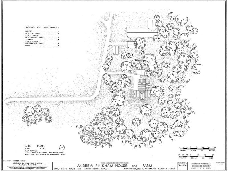
Explore the Ruins of the Pinkham Estate
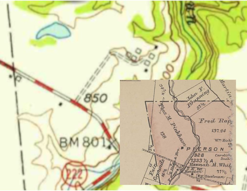
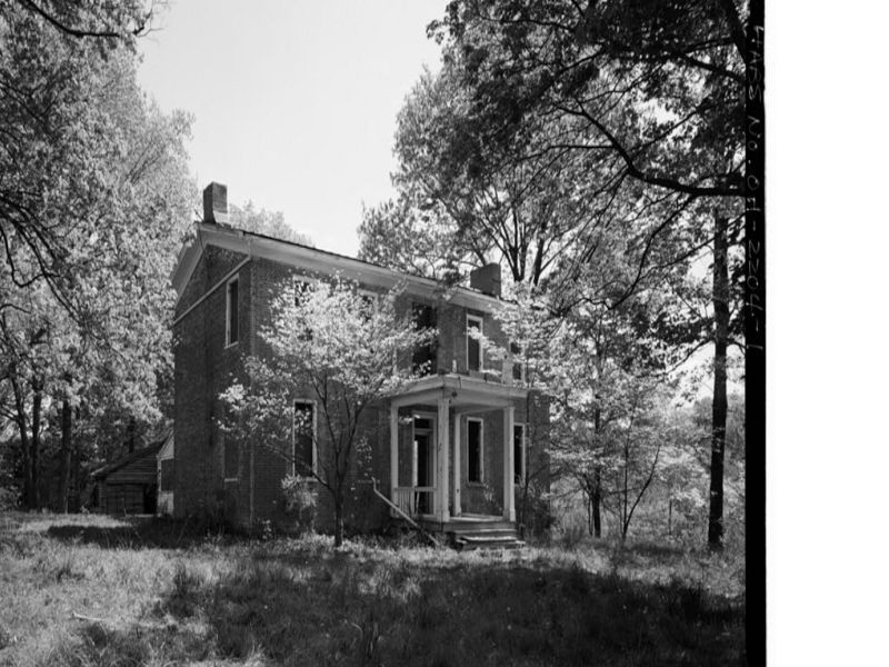
In a 1985 article in the Clermont Courier Press, Rick Crawford wrote that Captain Andrew Pinkham, a sea captain from Nantucket, Massachusetts, had just been paroled from the British after his ship was captured near New Orleans during the War of 1812. He fell in love with the region’s beauty as he traveled through the Elk Lick area on his return home. Pinkham purchased a 400-acre plot of land, built a two-story home, and brought his family to live within. As legend has it, he gave the village of Bantam its name due to its small size.
Andrew Pinkham lived and died in that home, as did his son, Thomas, who was the first village doctor there, years later. The first Clermont County Fair was held on the Pinkham property on September 28 and 29, 1849, by the Clermont County Agricultural Society, with nearly 2000 people attending the event.
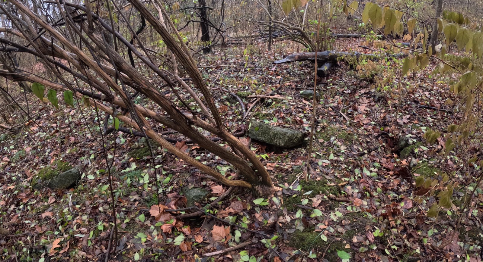
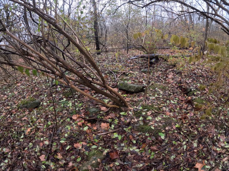
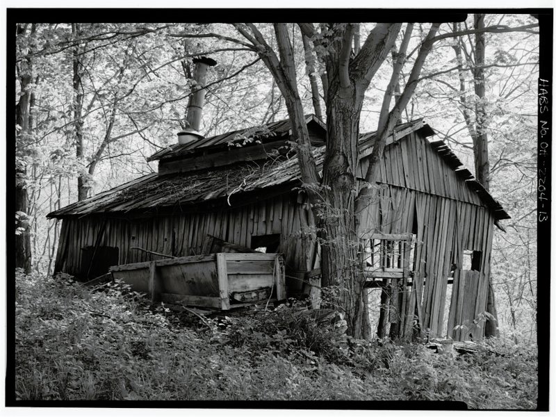
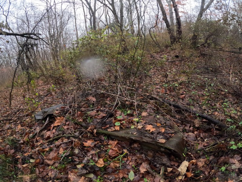
Early on, the property was used to produce maple syrup, and production continued into the 1980s; lines of old maple trees are still visible parallel to the Perimeter Trail. When the property was acquired during the dam’s construction, it was saved from destruction by its historical value. A fire destroyed the home in the 1980s, but hikers with a keen eye can still find remnants of its past tucked into the brush near East Fork State Park’s Perimeter Trail.
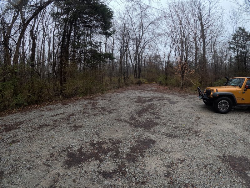
Parking
Old Pinkham Property Trail Parking Lot
OH-125, Amelia, OH 45102
(39.003880, -84.153410)
To find the sparse remnants of the old home and buildings, follow the trail from the parking lot to where it ends at the Perimeter Trail at about 0.1 miles. Turn right and the house would have been on the right. Old buildings were on the left. If you take a left at the intersection, you can also find the old pond.
Exploring the Ruins

Loveland Frogman
The Loveland Frogman was a short-lived legend in southwestern Ohio, where a frog-like creature showed up at doorsteps, along the…

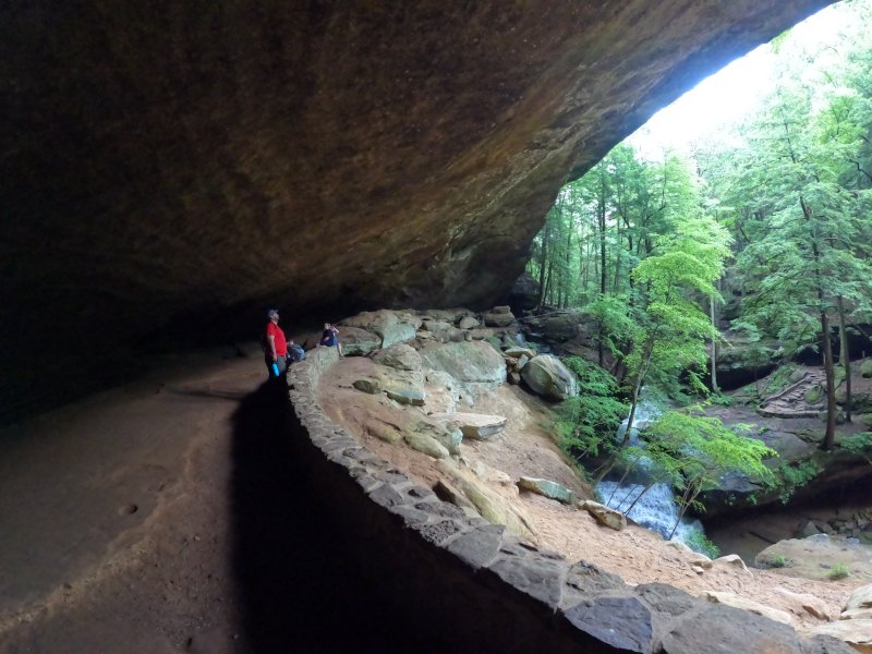
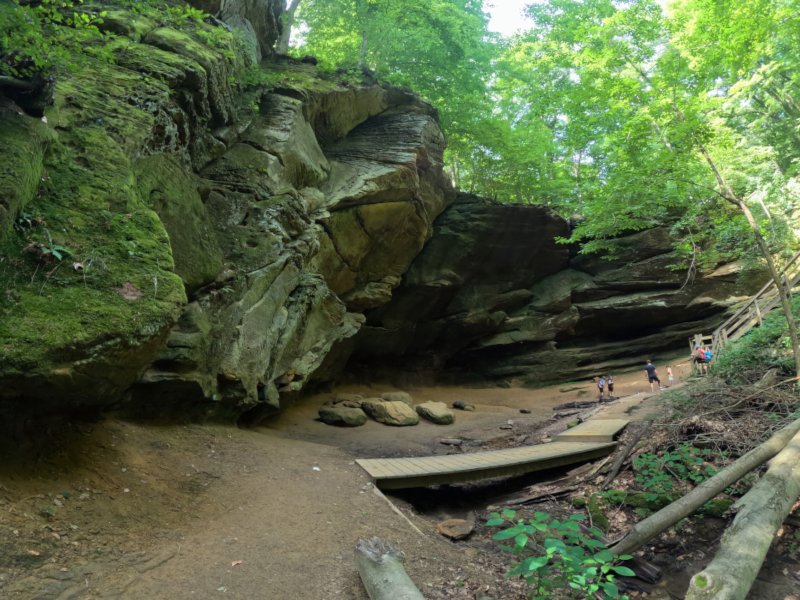
Old Man’s Cave
Among the stunning hiking areas in the enchanting Hocking Hills, Old Man’s Cave emerges as a premier destination that captivates…

Oh, The Legends
John “Appleseed” Chapman, the legendary figure known for planting apple trees across Ohio, frequently traveled through the Mohican Gorge on…
Nearby Hiking Trails at East Fork State Park:
Prairie Trail 0.5 miles, easy. Loop.
Park Road 3
Bethel, OH 45106
Parking: (39.012350, -84.138356)
Steven Newman Worldwalker Perimeter Trail — 30.1 miles, moderate; multi-use for horses, hikers, and backpackers. Access and parking on the north side of the Perimeter Trail are available at the campground visitor parking lot. Trail named after the famous world walker from Bethel, Ohio. Five overnight areas are provided. All backpackers must register for overnight areas. Trailhead: (39.00531, -84.13581)
Camp 1 (39.006806, -84.134755)
Camp 2 (38.992670, -84.106030)
Camp 3 (38.998056, -84.074583)
Camp 4 (39.051028, -84.115778)
Camp 5 (39.020495, -84.162288)
The trail is marked in green blazes. Some of the trail is shared with the Buckeye Trail, so you may see blue blazes in some sections. May be muddy as shared with horse riders.
Storybook Trail 0.5 mile, moderate (not wheelchair/stroller friendly).
Near Beach Pavilion
Off Park Road 2
Bethel, OH 45106
Parking: (39.017261, -84.132913)
North side of lake:
Fern Hill Loop Trail — 1.4 miles, moderate
Loop K
Batavia, OH 45103
(39.028959, -84.094902)
Mountain biking permitted. It takes about 30 minutes to hike. This is a popular trail for birding, hiking, and exploring. Dogs must be on a leash. This is a fee area from Memorial Day through Labor Day and during special events
Whippoorwill Trail
In the East Fork Campground Check-in right before the booth 0.6 miles, easy loop
Batavia
Ohio 45103
(39.047365, -84.102974)
It takes about 15 minutes to hike. Dogs are allowed, but must be on a leash.
Williamsburg-Batavia Hike Bike Trail — 6 miles. Begins at the end of Old Broadway Road in Williamsburg and follows Williamsburg-Bantam Road through the East Fork Wildlife Area. After crossing Kain Run Creek via bridge, the trail winds to a scenic overlook along the edge of the lake. From there, the trail proceeds to the campground area and connects to the main campground road. The trail continues to follow the main park road and eventually connects to Zagar Road in Batavia Township.
For other locations and mileage: There are several locations throughout the Village to “park and ride” for Hike/Bike Trail visitors:
- Harmony Hill at 299 S. Third
- Williamsburg “Old” High School at 549 W Main
- Community Parking Lot at 285 W. Main
- Village Offices (Community Center) at 107 W Main
- Williamsburg Community Park at 150 E Main
West side of lake by US Army Corps property:
Deer Ridge Trailhead 0.5 miles, easy. Takes about 10-15 minutes.
2185 Slade Road
Batavia, OH 45103
(39.025000, -84.145157) Located across from the US Army Corps of Engineers Visitors Center off Slade Road.
Tailwater — 2 miles, moderate. Located below the dam.
Backpack Trail — 16 miles, moderate, Red blazes. It is a challenging hike through oak-hickory forest and old fields. Trail starts at South Trailhead.
Mountain Bike Trails -10 plus miles, easy to moderate. There are four trails through woods starting from the South Trailhead. Bikers yield to hikers.
Bridle Trails – 22 miles, easy to moderate. Five different trails can be accessed from the Horse Activity/North Trailhead Lot off of Park Road 4. Hikers should yield to horseback riders when hiking on horse and multi-use trails.