Rising Corpses in Alum Creek and the Underground Railroad
Would you prefer to receive the unfavorable news or the favorable news regarding Alum Creek first? It may be prudent to begin with the unfavorable news. So here goes-
The Alum Creek Reservoir was created in the early 1970s, accompanied by the typical controversies regarding the loss of family farms, towns, and even cemeteries. One of the impacted areas was the village of Cheshire, which contained a cemetery with at least 1,500 graves—supposedly a resting place for the deceased for eternity. However, their rest would not last, as the federal Flood Control Act of 1962 prompted the construction of dams to prevent flooding and provide recreational sites.
As part of this project, the old graveyard, along with about five other small cemeteries, was relocated to a new site called the New Cheshire Cemetery. Most of the graves were moved, but some caskets and bones occasionally surface along the shores. For instance, in 2009, ten wooden coffins, a steel vault, and the remains of seven individuals were discovered. Additionally, in 1991, a drought revealed several caskets and other human remains.
That said and done, here’s the good-
Alum Creek State Park, located near Columbus, is a beautiful place that offers a wide range of fun outdoor activities for everyone to enjoy. Known for its stunning scenery and peaceful atmosphere, it’s a favorite spot for nature lovers and those who enjoy spending time outdoors. The park also has an interesting history linked to the Underground Railroad, which was a network that helped people escape from slavery.
Alum Creek itself stretches for 58 miles, running through several counties before merging with Big Walnut Creek. According to local stories, many people escaping slavery used Alum Creek as a guide. They relied on the sycamore trees along the creek as landmarks to find their way. The creek’s water helped to hide their scent from dogs that bounty hunters used to track them down. Along their perilous journey, many found safe places to stay, thanks to the kindness of local abolitionists who provided shelter, food, and guidance.
One of these safe havens was at the home of Samuel Patterson, a farmer in the 1840s who opened his house and outbuildings to those fleeing to freedom. He and others in the community quietly offered help to those in need.
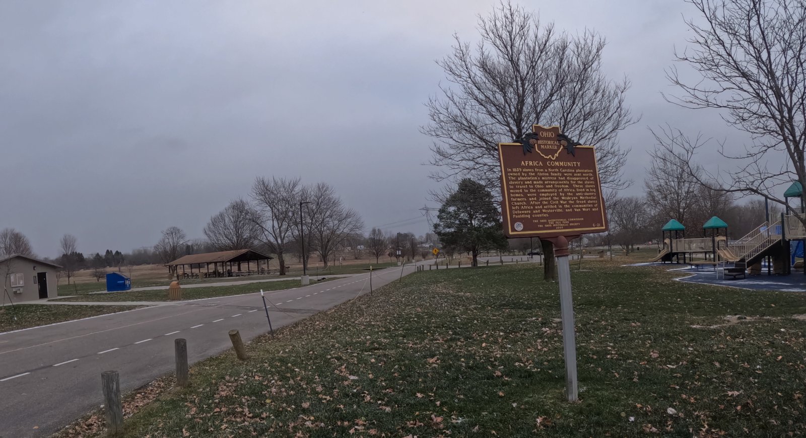
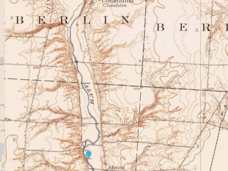
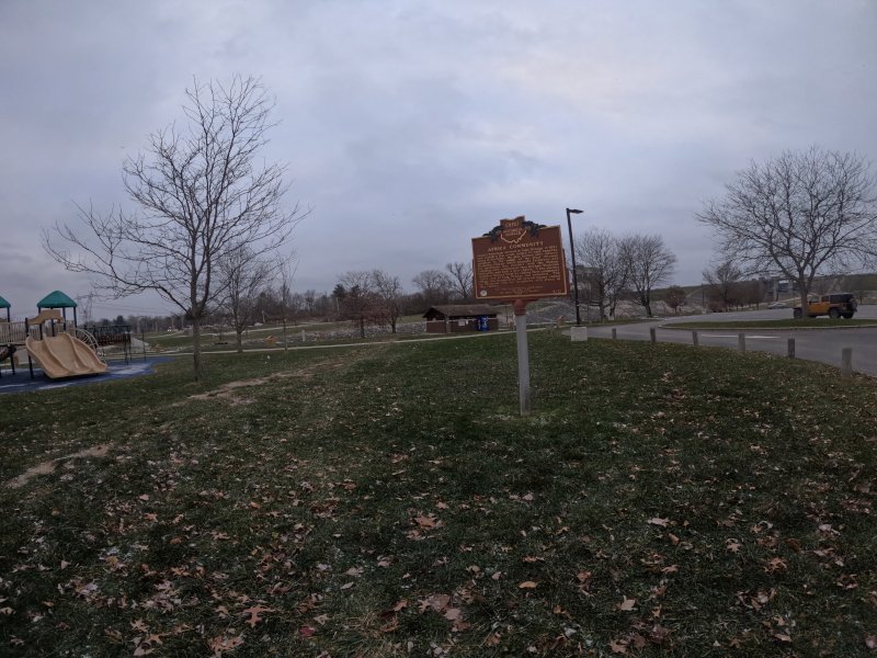
In the early 1850s, after the death of Oran D. Alstona, a plantation owner from North Carolina, his wife Miriam made it her wish that the remaining enslaved people be taken to a free state after she passed away. In 1859, about 35 of these freed individuals moved to the community, which then became known as Africa.
Nearby in Westerville, another important spot along the Underground Railroad is Sycamore Trail Park. This park is dedicated to honoring those brave individuals who risked their lives to escape to freedom along this perilous path. Sycamore Trail Park is located at 797 Africa Road, Westerville, Ohio.
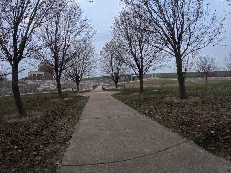
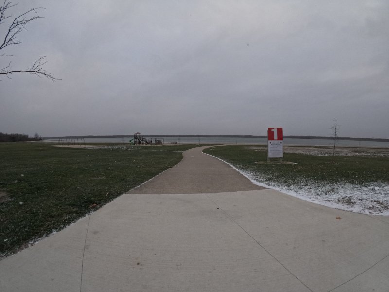
In tribute to Ohio’s role in the Underground Railroad, there is the 3/4 mile looped Heritage of Freedom Trail, a short loop trail near the Galena Boat Ramp at Alum Creek State Park with interpretive signs showing how freedom seekers interacted with nature.
Parking/Trailhead
Alum Creek State Park (Heritage of Freedom Trail)
Galena Boat Ramp
Africa Road
Galena, OH 43021
Alum Creek Dam Parking Lot (Roadside Sign for Africa)
Galena, OH 43021
(40.184796, -82.963341)
Click here for an Alum Creek Map
Alum Creek State Park serves as a highly sought-after destination for boating and camping enthusiasts. The park offers visitors the opportunity to engage in a variety of activities on its expansive waters, fishing, or paddling in peaceful coves. Additionally, the park features the largest inland beach within the state park system, making it an ideal spot for swimming and sunbathing. Whether you’re looking for adventure or relaxation, Alum Creek State Park provides a diverse range of outdoor experiences.
Alum Creek

Loveland Frogman
The Loveland Frogman was a short-lived legend in southwestern Ohio, where a frog-like creature showed up at doorsteps, along the…

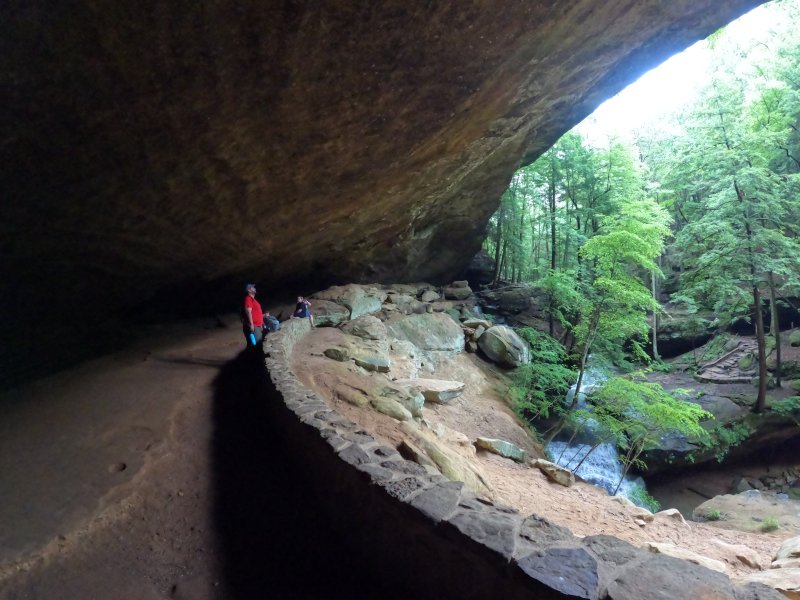
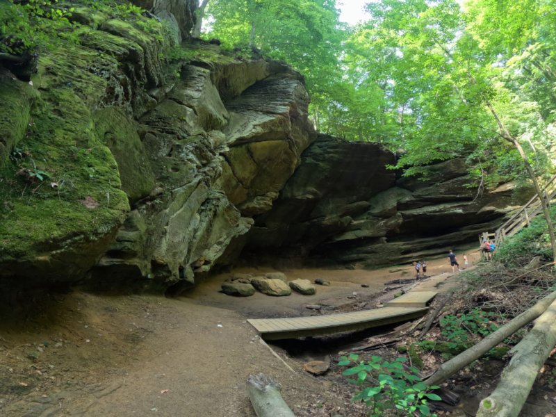
Old Man’s Cave
Among the stunning hiking areas in the enchanting Hocking Hills, Old Man’s Cave emerges as a premier destination that captivates…

Oh, The Legends
John “Appleseed” Chapman, the legendary figure known for planting apple trees across Ohio, frequently traveled through the Mohican Gorge on…