The Ohio State Park with Hidden Treasures
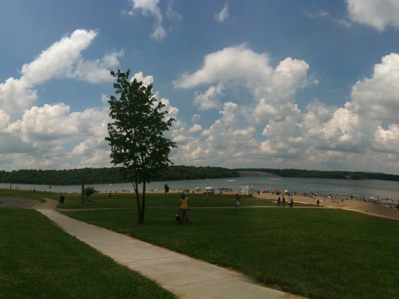
East Fork State Park, located in the scenic southwestern part of Ohio, is one of the largest state parks in the state, covering over 7,480 acres. Situated by William Harsha Lake, which is managed by the Army Corps of Engineers, the park offers plenty of recreational activities like boating, fishing, and swimming. East Fork State Park visitors can enjoy various amenities, including and picnic shelters that provide perfect spots for relaxation and gatherings. For those seeking adventure, the park boasts an array of trails, most notably the Steven Newman Worldwalker Perimeter Trail. This remarkable 30-mile loop trail pays tribute to local resident Steven Newman, who was celebrated for his journey around the globe on foot.
However, the true richness of the park extends beyond its natural scenery. In a brief yet nearly forgotten historical moment, a gold rush occurred in this area, attracting prospectors eager to strike it rich in the Clermont County Gold Rush.
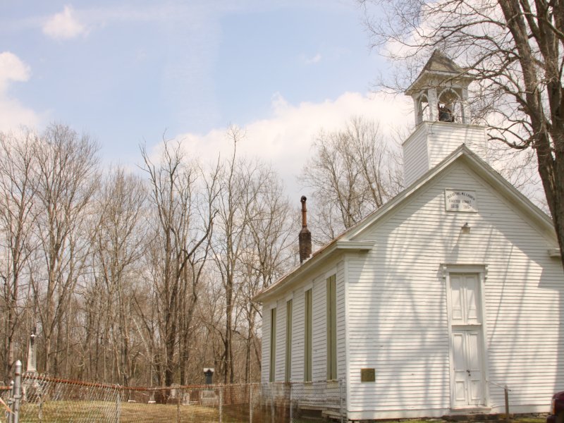
A lesser-known site near the perimeter trail adds a touch of intrigue to the park’s natural beauty. Here, one can discover the remnants of a quaint church and a serene graveyard, Bethel Methodist Church, accompanied by an eerie legend that weaves through the fabric of local history. This blend of recreation, nature, and mystery makes East Fork State Park a captivating destination for all who seek to explore its vast charms.
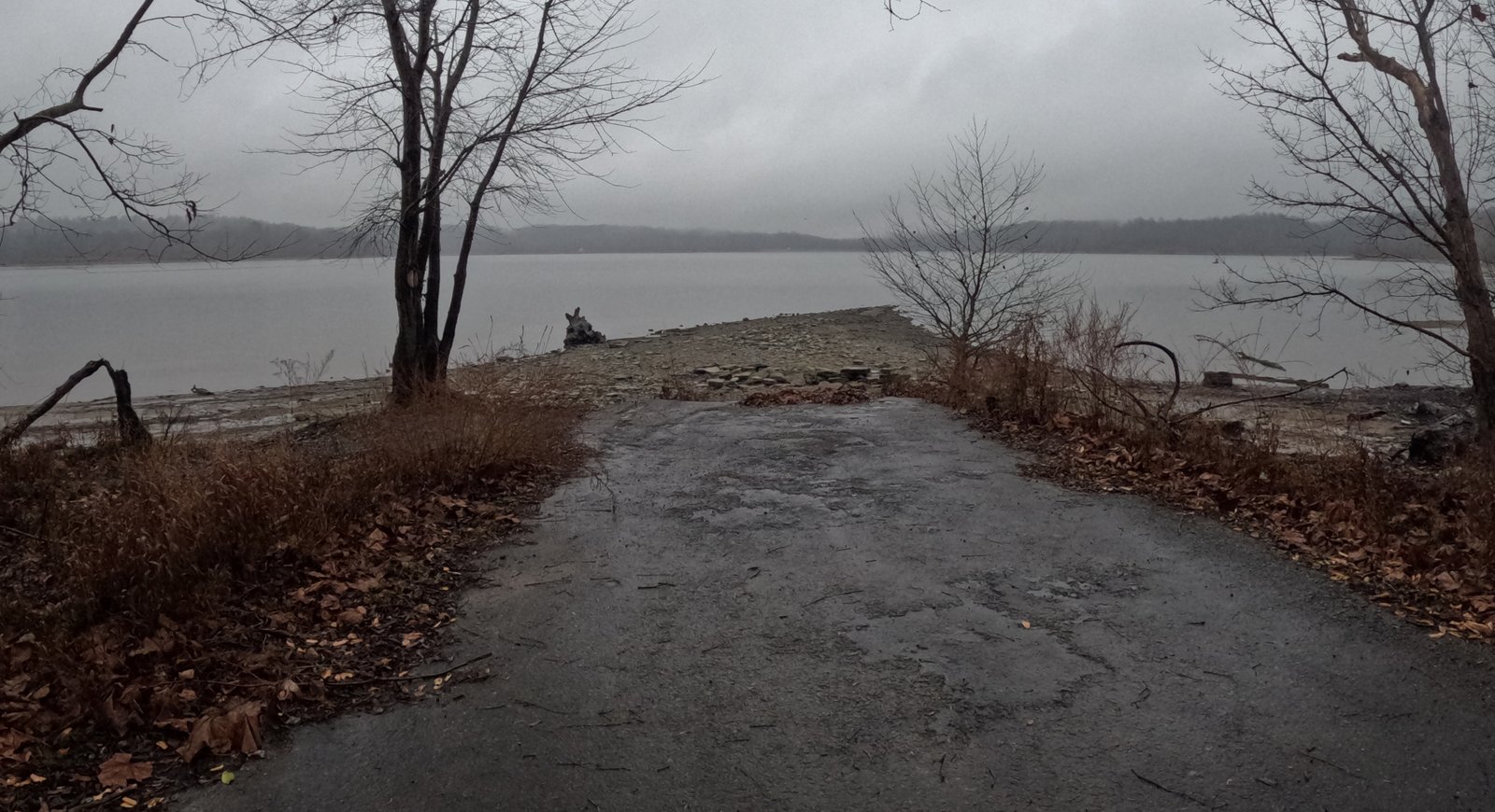
Did you know that two historic towns with rich histories lie beneath the dark waters of East Fork State Park Lake? When the Army Corps of Engineers constructed a dam in the late 1970s to aid in flood prevention for nearby populated areas and to create a recreational haven, many families faced devastating consequences. Despite their efforts to preserve their farms and way of life, they were ultimately forced to abandon their homes.
The towns of Bantam and Elk Lick, along with the properties of 253 families, now rest submerged under East Fork Lake in Ohio.
Bantam (1802 – 1972) was inundated in 1978 when the dam for East Fork Lake was completed. This once-thriving community was home to several historical buildings and landmarks tragically demolished to make way for the lake. The community’s economic and cultural contributions were lost as the area was transformed.
Elk Lick met a similar fate; it was destroyed during the construction of East Fork Lake. Today, it is often referred to as a ghost town, with little evidence of its past vibrancy. The memories of these towns and the families who lived there are now preserved only in the stories passed down through generations, overshadowed by the lake that now dominates the landscape. But a few abandoned remnants can be found along the trails. Hikers can follow “roads to nowhere‘, eerie streets cut off by the damming of the lake. Along the paths, those with a keen eye can find old signs of habitation like The Arches and the meager remains of the historic Pinkham farm and maple syrup industry.
Parking
East Fork State Park Beach
Park Road 2
Bethel, OH 45106
(39.019957, -84.133898)
Click here for an East Fork State Park Trail Map
East Fork State Park offers a diverse array of recreational activities for visitors to enjoy. A key feature of the park is Harsha Lake, which permits unlimited horsepower boating, making it an excellent destination for enthusiasts of motorized water sports. The lake also supports a variety of other aquatic activities, including paddling, fishing, and swimming.
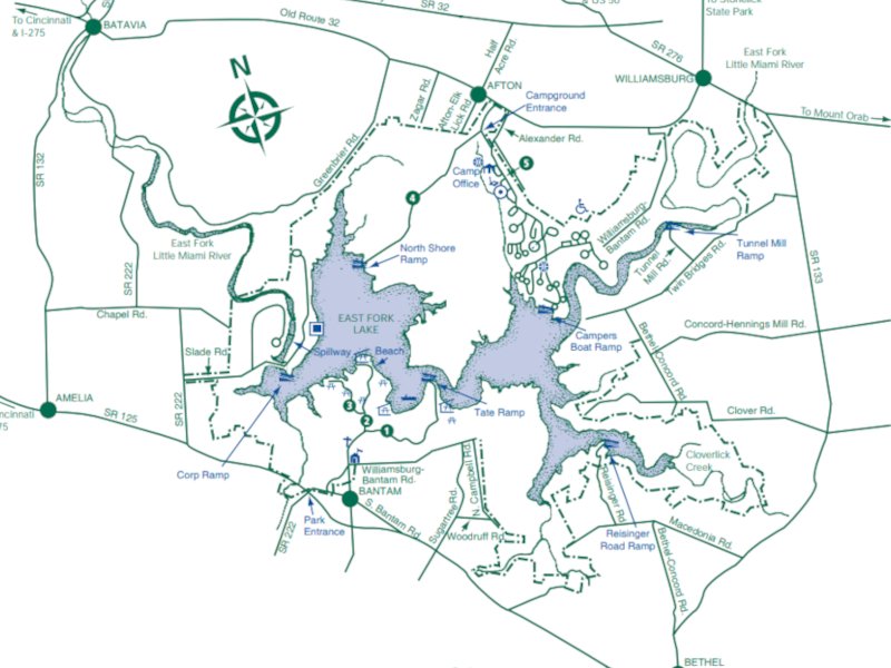
Exploring East Fork State Park

Clermont County Gold Rush.
Loveland Frogman
The Loveland Frogman was a short-lived legend in southwestern Ohio, where a frog-like creature showed up at doorsteps, along the…
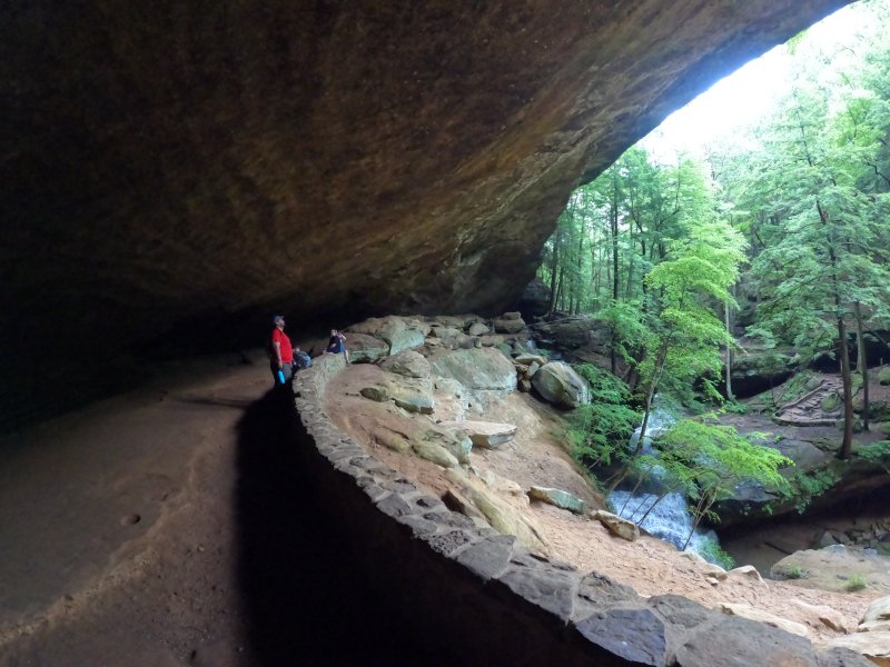
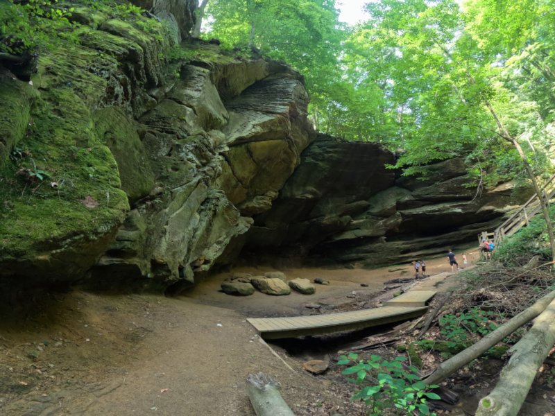
Old Man’s Cave
Among the stunning hiking areas in the enchanting Hocking Hills, Old Man’s Cave emerges as a premier destination that captivates…
Oh, The Legends
John “Appleseed” Chapman, the legendary figure known for planting apple trees across Ohio, frequently traveled through the Mohican Gorge on…
Nearby Hiking Trails at East Fork State Park:
Prairie Trail 0.5 miles, easy. Loop.
Park Road 3
Bethel, OH 45106
Parking: (39.012350, -84.138356)
Steven Newman Worldwalker Perimeter Trail — 30.1 miles, moderate; multi-use for horses, hikers, and backpackers. Access and parking on the north side of the Perimeter Trail are available at the campground visitor parking lot. Trail named after the famous world walker from Bethel, Ohio. Five overnight areas are provided. All backpackers must register for overnight areas. Trailhead: (39.00531, -84.13581)
Camp 1 (39.006806, -84.134755)
Camp 2 (38.992670, -84.106030)
Camp 3 (38.998056, -84.074583)
Camp 4 (39.051028, -84.115778)
Camp 5 (39.020495, -84.162288)
The trail is marked in green blazes. Some of the trail is shared with the Buckeye Trail, so you may see blue blazes in some sections. May be muddy as shared with horse riders.
Storybook Trail 0.5 mile, moderate (not wheelchair/stroller friendly).
Near Beach Pavilion
Off Park Road 2
Bethel, OH 45106
Parking: (39.017261, -84.132913)
North side of lake:
Fern Hill Loop Trail — 1.4 miles, moderate
Loop K
Batavia, OH 45103
(39.028959, -84.094902)
Mountain biking permitted. It takes about 30 minutes to hike. This is a popular trail for birding, hiking, and exploring. Dogs must be on a leash. This is a fee area from Memorial Day through Labor Day and during special events
Whippoorwill Trail
In the East Fork Campground Check-in right before the booth 0.6 miles, easy loop
Batavia
Ohio 45103
(39.047365, -84.102974)
It takes about 15 minutes to hike. Dogs are allowed, but must be on a leash.
Williamsburg-Batavia Hike Bike Trail — 6 miles. Begins at the end of Old Broadway Road in Williamsburg and follows Williamsburg-Bantam Road through the East Fork Wildlife Area. After crossing Kain Run Creek via bridge, the trail winds to a scenic overlook along the edge of the lake. From there, the trail proceeds to the campground area and connects to the main campground road. The trail continues to follow the main park road and eventually connects to Zagar Road in Batavia Township.
For other locations and mileage: There are several locations throughout the Village to “park and ride” for Hike/Bike Trail visitors:
- Harmony Hill at 299 S. Third
- Williamsburg “Old” High School at 549 W Main
- Community Parking Lot at 285 W. Main
- Village Offices (Community Center) at 107 W Main
- Williamsburg Community Park at 150 E Main
West side of lake by US Army Corps property:
Deer Ridge Trailhead 0.5 miles, easy. Takes about 10-15 minutes.
2185 Slade Road
Batavia, OH 45103
(39.025000, -84.145157) Located across from the US Army Corps of Engineers Visitors Center off Slade Road.
Tailwater — 2 miles, moderate. Located below the dam.
Backpack Trail — 16 miles, moderate, Red blazes. It is a challenging hike through oak-hickory forest and old fields. Trail starts at South Trailhead.
Mountain Bike Trails -10 plus miles, easy to moderate. There are four trails through woods starting from the South Trailhead. Bikers yield to hikers.
Bridle Trails – 22 miles, easy to moderate. Five different trails can be accessed from the Horse Activity/North Trailhead Lot off of Park Road 4. Hikers should yield to horseback riders when hiking on horse and multi-use trails.
